
Seven regional maps to choose the design wind speed, instead of guessing it.
Wind map: the resource before the rotor
Sizing a wind turbine starts with a question that is often skipped: at what wind speed should this machine be optimal? Too low, and it saturates as soon as the wind blows; too high, and it never starts. Wind map gives the first order of magnitude.
1: Opening Wind map
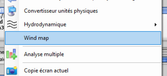
The menu entry
2: Locating the site
Choose the zone, find the region of the project, read off the average speed shown. Local relief, terrain roughness and tower height will change that value: take it as a basis for discussion, not as site data.
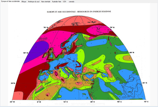
A regional map

The seven zones
3: Carrying the speed over into the project
Enter the chosen speed in the operating point of the wind turbine project, then compute. It is that speed which sets the optimal rotation speed, and therefore the twist and the chord of the blades: everything else follows from it.

The design speed
4: The limit of the exercise
A regional map says nothing about the statistical distribution of the winds on your site, nor about the turbulence caused by relief or obstacles. For the annual output, it is the multiple analysis that gives the power over the whole range of speeds: that is what has to be crossed with a measured or estimated wind distribution.
Going further: wind power and wind speed, building a wind turbine and the domestic wind turbine tutorial (in French).
 Global site map
 Mecaflux
 Tutorials Mecaflux Pro3D
 Tutorials Heliciel
 Tutorials Heliciel PRO CFD
 Mecaflux Store
 Compare software functions
 Quotes, Orders, Payment Methods
 project technical studies